web
You’re offline. This is a read only version of the page.
close
This browser is not supported and the application will not function correctly. Please install a modern browser or contact your IT support to use Environment Online.
Skip to main content
Environment Online logo
Environment Online
  • Home
  • Interactive map
  • Get involved
    • Get involved
    • Search Public Consultations
  • Guidance
  • Login
Skip to main content

Interactive map

The interactive map provides an online experience to plan and explore data on WA’s environmental approvals.

Launch interactive map
Assess your spatial data

Upload shape files and draw your own shapes on the map. Add layers to view how your project interacts with the environment.

Explore our database

Use layers to explore environmental approvals data in relation to places of environmental significance, such as environmentally sensitive areas.

Browse projects

View environmental approvals in your area of interest, such as applications and instruments.

Export your map

Download or print your map as a PDF document.

Our environmental data

Our environmental approval data in the interactive map includes:

  • EPA referred significant proposals
  • EPA referred schemes
  • Native vegetation clearing permits
  • Water licences (Active licences) *View the Water register for water availability  
  • Industry prescribed premises and works approvals (data coming soon)

Other reference layers data in the interactive map includes:

  • Threatened and priority biodiversity (subject to visible extent limits)
  • Native title boundaries
  • Water bodies and river catchments
  • Heritage and cultural sites
  • Other government authoritative datasets to provide locational and environmental context

Additional geospatial datasets

You can search, access, and download datasets available in our Interactive map on DataWA.

two people looking at a map

Using the interactive map

The interactive map tools enable you to:

  • Search for an address, location, or zoom in to a set of coordinates
  • Turn layers on and off to view environmental approval and other reference data
  • Upload your shape files to the map
  • Draw shapes and annotate on a map
  • Print and export your map

The interactive map does not enable you to:

  • Start an application
  • Export shapes for use in other spatial data viewers.

User guide

For general instructions on how to use the interactive map, download the manual:

Interactive Map.pdf
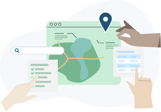
two people looking at a map

Supporting how we regulate

This tool helps stakeholders, communities, and interested parties understand the distribution of environmental projects, identify trends, and assess their impact on specific areas. Promoting awareness of environmental approvals enables the community to be more informed and actively participate in supporting environmental regulation. Your questions, feedback, and insights contribute to better outcomes to effective regulation, and sustainable growth.
two people looking at a map

When you need more help

Many enquiries can be solved by checking our guidance and help material. If you’d prefer to speak to someone, you can get in touch with us in several ways.

Submit an enquiry

Fill out an online form and our support team will provide you with a response within the next 10 business days

Self service

Access guidance and help materials to learn how to use Environment Online.

Call

Give us a call on 1800 161 176. Our contact hours are 8.30am-4:30pm Monday to Friday.

Report environmental incident

Visit the WA.gov.au to anonymously report pollution, illegal dumping or other environmental matters.

Acknowledgement of Country

The Government of Western Australia acknowledges the traditional custodians throughout Western Australia and their continuing connection to the land, waters and community. We pay our respects to all members of the Aboriginal communities and their cultures, and to Elders both past and present.

Australian government logo Western australian government
  • About

    • Contact us
    • Accessibility
  • Quick links

    • Interactive map
    • Fee calculator
    • How to appeal
  • Legal

    • Terms of use
    • Privacy
    • Complaints
  • Other services

    • Department of Water and Environmental Regulation
DWER on linkedin DWER on Twitter DWER on YouTube

All contents © 2025 Government of Western Australia. All rights reserved.

Login

Loading

Environment Online Chatbot